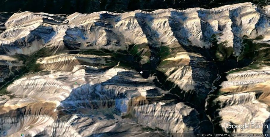
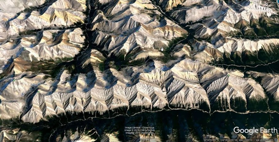
To support this assertion I made a short clip of a virtual flyover of a portion of the Rocky Mountains of western Alberta, at roughly 52°N 116°W. The video starts with a view of what looks like a canyon wall, but it’s not really… It does however give some indication of the scale of the activity that might be involved in the formation of mountains.
Note the odd looking surface at the ‘top’ of the ‘canyon’ which itself shows signs of earlier tectonic activity.
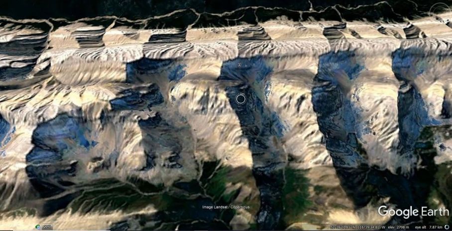
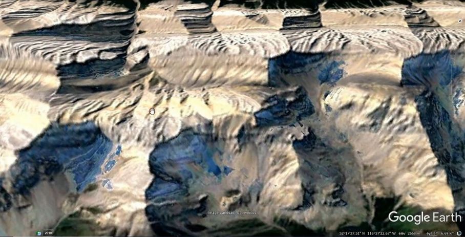
It seems that the ‘canyon wall’/mountain range in the opening view is one fracture face of an overturned block of crust that, after fracturing, has had the rug pulled out from under it in a rapid, highly energetic event, causing it to topple. However in order to accommodate the depth of the crust fragment (it appears to be deeper than it is wide), some expansion of the underlying substrate would need to occur. Other similarly overturned blocks appear to be present in the vicinity.
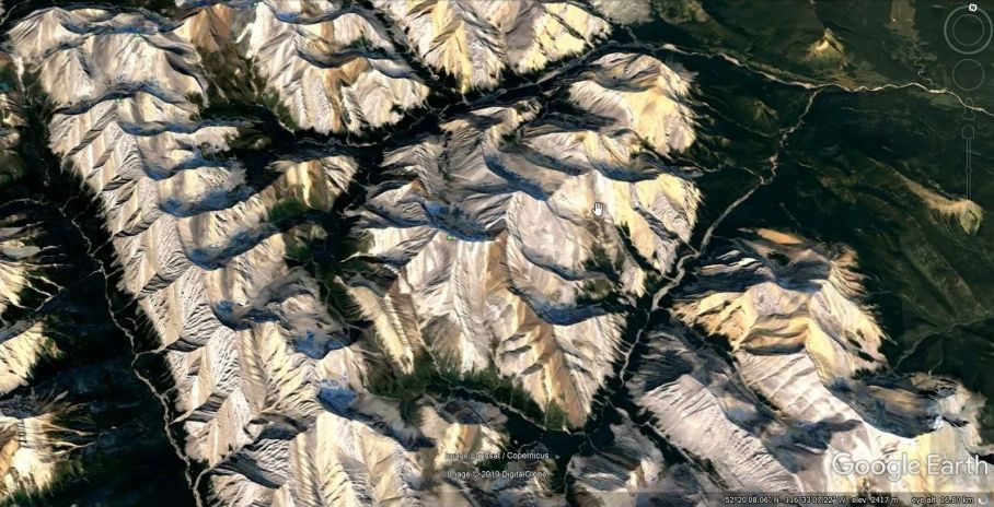
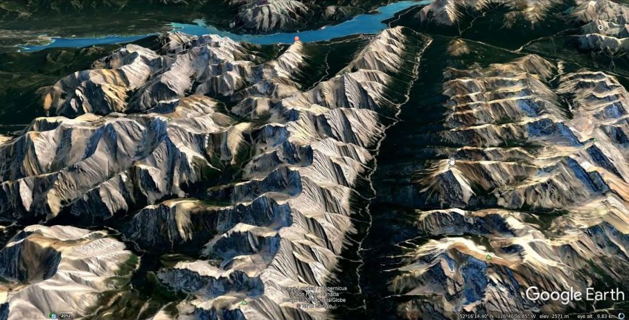
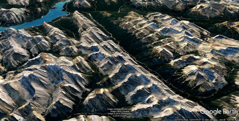
It may be that a similar process involving crust fracturing together with stretching of the underlying mantle has been instrumental in creating the major mountain ranges of the continents.
There are plenty of other examples of toppled blocks but this one is easy to visualize because of the banding/layering of the rocks and relatively uncomplicated displacements.